

Scoping a Saltmarsh Sentinel Network for Scotland
The challenge
Scotland’s saltmarshes provide flood protection, carbon storage and habitat for rare species, yet there is limited long-term data on how they are changing. The Saltmarsh Survey of Scotland provides a valuable baseline, but a single snapshot cannot show trends. NatureScot needed a proportionate, repeatable way to track saltmarsh extent, condition and function, one that fit its developing Monitoring to Deliver Healthy Ecosystems approach.
The project
This desk-based scoping study set out how a Saltmarsh Sentinel Network could work: a small set of representative sites monitored consistently over the long term, with Earth Observation (EO) providing national context. BioSpatial Insights worked with Grasslands Habitat and Wildlife Research Ltd., combining the lead contractor’s saltmarsh ecology expertise with our own geospatial and data management skills.
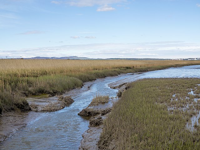
Powgavie Burn at the Tay mudflats. © Copyright William Starkey, CC BY-SA 2.0.
Our contribution
Stakeholder engagement: We held workshops with a range of NatureScot teams to understand how they would use saltmarsh monitoring data and what they would need from the supporting information systems. These conversations shaped the data architecture and the user requirements for the network.
Evidence review: We reviewed how EO and remote sensing can be used to map and monitor saltmarsh, from satellite and LiDAR to drone data, and assessed which existing national and local datasets are useful for monitoring.
In-house capacity review: We consulted NatureScot staff on their existing drone data capture and remote sensing capability, so the monitoring approach could build on what the organisation already has and highlight where investment would add most value.
Integrating EO and field monitoring: We defined how EO screening and fixed-site monitoring complement each other, including how EO can flag change for targeted field verification, and how UAV imagery can support the measurement of saltmarsh extent, edge position and geomorphology.
Site selection: We implemented the spatial selection methodology, refining the rules over several iterations as the results were reviewed. This produced a pool of candidate saltmarsh systems across four regions, from which sentinel sites were selected, and we produced the supporting maps and tables.
Network design: We contributed extensively to the network’s spatial hierarchy, working with the lead contractor to define how saltmarsh systems, sites, transects and sampling points nest together within a national EO framework.
Data management and use cases: We designed the data architecture to support the network, including an open-source PostgreSQL/PostGIS database, digital field data capture with QGIS and QField, cloud-optimised storage for raster data, and a draft database schema. We also mapped how six NatureScot user groups, from protected area advisors to statutory reporting teams, would use the data.
Collaboration and quality assurance: We worked closely with the lead contractor throughout and carried out a full peer review of the report before submission.
Image used on the main portfolio page © Julian Paren, CC BY-SA 2.0.